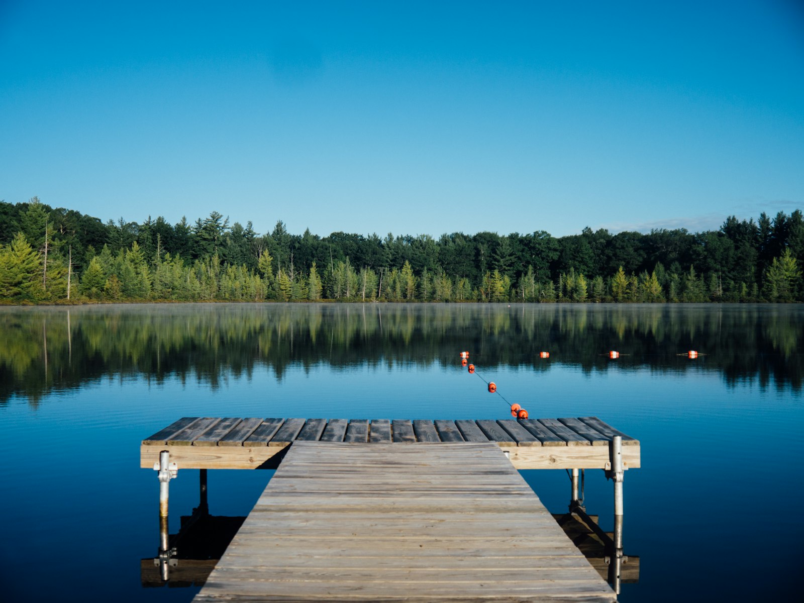
The one corner with a canyon.
East of Loop 289, the flat plains give way to Yellow House Canyon — and with it, the lakeside town of Ransom Canyon and the 200-acre Buffalo Springs Lake. It's the only part of the Lubbock market with real canyon terrain, and it's bought differently from anywhere else in town.
Where Lubbock finally has terrain.
Almost all of the Lubbock market sits on the flat Llano Estacado. Far Southeast is the exception. Follow FM 835 — East 50th Street — east past Loop 289 and the land drops into Yellow House Canyon, carved by the Brazos. That canyon is what makes this corner different: the homes follow the terrain, the recreation centers on the water, and the governing and school lines work unlike anywhere else in town.
- Ransom Canyon is its own town. A separately incorporated lakeside town with its own government and its own tax structure — not a Lubbock neighborhood. We cover it on its own page.
- Four school districts across the zone. Lubbock ISD, Lubbock-Cooper ISD, Roosevelt ISD, and Slaton ISD each cover part of Far Southeast — and Ransom Canyon itself splits between Roosevelt (north of the lake) and Slaton (south). Verify by address, always.
- Canyon terrain, lakeside lots. Homes here sit on canyon rim, slope, and lakeside parcels, with architecture shaped by the terrain — a different kind of buy from a flat subdivision lot.
The in-town pockets of Far Southeast.
Beyond the canyon and the lakes, the Far Southeast zone takes in a few established and newer residential pockets south of the Loop and east of University Avenue. Here's how they compare on the facts that hold steady.



These pockets sit at the western edge of the Far Southeast zone, where the boundary with the southwest and south areas runs along University Avenue and Loop 289. School district and city-limit status can change street to street out here, so we confirm both against the exact address before you offer.
Ransom Canyon, built around a lake.
Ransom Canyon began in 1964 as a lake development in Yellow House Canyon and voted to incorporate in 1977. Today it's a small lakeside town with its own mayor and aldermen, its own police and fire service, and its own tax rate. Because it runs on its own municipal terms — and because it's the highest-priced part of the Lubbock market — we treat it as a town in its own right rather than a Lubbock neighborhood.
- Two districts, one town. Roosevelt ISD north of the lake, Slaton ISD south of it — confirm which one any specific address feeds into.
- Its own city & taxes. Ransom Canyon adds a municipal tax layer on top of county and school taxes, so taxes here generally run higher than a comparable Lubbock home — a real cost to plan for. Confirm current figures with the Town and Lubbock County CAD.
- Terrain-driven homes. Canyon-rim, slope, and lakeside lots produce a varied housing stock and architecture you won't find on the flat plains.
- We cover it separately. Ransom Canyon has its own SGR page so we can give the town its due.
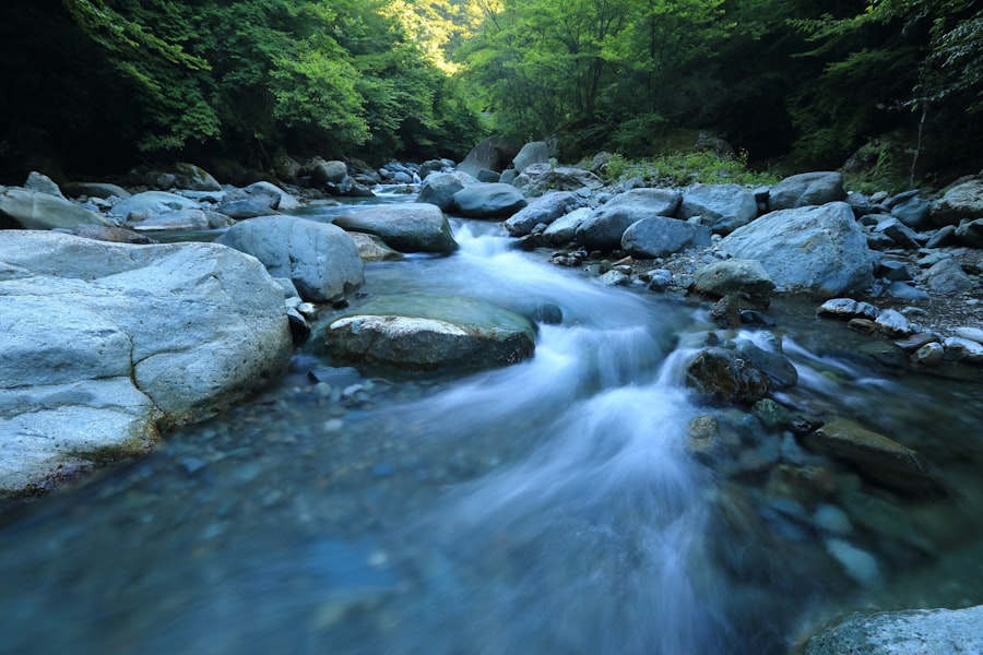
200 acres of water in the canyon.
Buffalo Springs Lake is the recreational heart of Far Southeast — a county lake in the canyon that has drawn Lubbock outdoors since 1957. A small incorporated village, also called Buffalo Springs, sits around the water.
The 200-acre lake is run by Lubbock County Water Control & Improvement District No. 1 — a county special district governed by an elected board, separate from the City of Lubbock.
Fishing, boating from three ramps, two beaches, a marina, camping, ATV trails, and a 5.7-mile loop trail with canyon, water, and plains views. Day-use gate fees apply — check the lake's site for current rates.
The springs that feed it have flowed since long before the dam; the lake has anchored this canyon as a recreation spot for generations, and the springs still run today.
Two things that are different out here.
Taxes: a town layer on top
There are no City of Lubbock Public Improvement Districts in Far Southeast — it's outside Lubbock city limits. But Ransom Canyon adds its own municipal tax layer on top of Lubbock County and school-district taxes, so the total tax bill on a Ransom Canyon home generally runs higher than a comparable home inside Lubbock. That's a factual cost to budget for, not a knock on the area.
We confirm the exact taxing entities for any address, request a current tax certificate from the Town, and verify with the Lubbock County Appraisal District before you offer — and on canyon and lakeside lots we look at terrain, access, and utilities too.
Schools: four districts, one zone
Far Southeast spans four school districts as you move east from the city. Lubbock ISD covers the western edge (South Mesa, Southgate), Lubbock-Cooper ISD the southwest around Fox Ridge, Posey, and the southern I-27 corridor, Roosevelt ISD the canyon and central county including most of Ransom Canyon and Buffalo Springs, and Slaton ISD the southeastern fringe. Ransom Canyon itself is split by the lake — Roosevelt on the north side (most of the town), Slaton on the south — so never assume one district for the whole town.
Confirm the district and campus for any exact address here:
Search Far Southeast Lubbock Listings
Filter by price, bedrooms, bathrooms, square footage, and map area. Want a neighborhood-specific map? Open a guide above.
Listings update as status and pricing change. Want a short list matching your commute and must-haves? We can set instant alerts for new listings, price changes, and status updates.
Far Southeast Lubbock Homes — newest first
 $225,000
Active
7705 Date Avenue Lubbock, Texas
3 Beds 2 Baths 1,382 SqFt 0.12 Acres
 $449,900
Active
69 Pony Express Trail Lubbock, Texas
4 Beds 3 Baths 1,948 SqFt
 $525,000
Pending
59 E Lakeshore Drive Ransom Canyon, Texas
3 Beds 3 Baths 2,517 SqFt 0.25 Acres
 $140,000
Active
1924 73rd Street Lubbock, Texas
3 Beds 1 Baths 1,297 SqFt 0.15 Acres
 $214,999
Active
324 E 76th Street Lubbock, Texas
3 Beds 2 Baths 1,430 SqFt 0.12 Acres
 $350,000
Active Under Contract
17 Ridge Road Ransom Canyon, Texas
3 Beds 2 Baths 1,835 SqFt 0.19 Acres
 $500,000
Active
70 E Canyonview Drive Ransom Canyon, Texas
6 Beds 3 Baths 2,691 SqFt 0.37 Acres
 $289,000
Active
36 Kit Carson Lane Lubbock, Texas
3 Beds 3 Baths 3,028 SqFt 0.082 Acres
 $245,000
Active
2311 101st Street Lubbock, Texas
3 Beds 2 Baths 1,802 SqFt 0.16 Acres
 $325,000
Active
1615 128th Street Lubbock, Texas
3 Beds 2 Baths 2,523 SqFt 0.99 Acres
 $540,000
Active
30 W Lakeshore Drive Ransom Canyon, Texas
3 Beds 2 Baths 2,834 SqFt 0.145 Acres
 $489,900
Active
2316 County Road 3300 Lubbock, Texas
4 Beds 3 Baths 2,338 SqFt 10.01 Acres
Frequently Asked
What is in Far Southeast Lubbock?
Is Ransom Canyon part of Lubbock?
Which school district serves Ransom Canyon?
What is Buffalo Springs Lake?
Do homes in Far Southeast Lubbock have a PID, and how are the taxes?
Whether you want a lakeside lot in Ransom Canyon, a canyon-rim home, or acreage near Buffalo Springs, we'll tell you what we know — which side of the lake you're on, the school district, the full tax picture, and what to check on canyon terrain. No pressure, just a straight conversation.
Book a Free Consultation See the Full Lubbock Map